Deployment Area and Other Instrumentation

During the field project, the DOW and students will be deployed at different locations across Long Island and the Greater New York City area depending on the mesoscale phenomena of interest for the day. These include locations on both the northern and southern Long Island - NYC coasts as well as points in central Long Island.
Additional Data Sources
In addition to use of the DOW, students will utilize several hand-held instruments to measure wind, temperature, humidity, and pressure during the field project. Complementary to these field measurements, convectional surface and upper air (radiosonde; Aircraft Communications Addressing and Recording System, ACARS; satellite) observations will be combined with the DOW analysis as well. The Long-EZ aircraft (shown below) will also be deployed to the south of Long Island during sea breeze days.
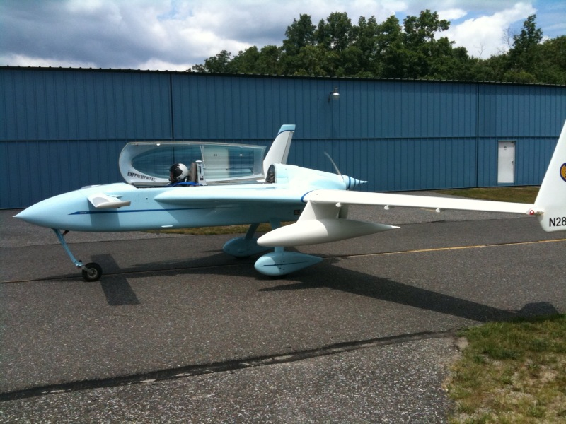